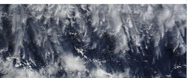
Mass of Aerosol Trails Sprayed In Path of Cyclone Lusi?
This is satellite imagery for the afternoon of March the 13th from ‘Rapidfire’ and show the area over the Pacific Ocean to the east of the top of the North Island, in the vicinity of where cyclone Lusi appeared to be heading. It appears to show numerous aerosol trails, sprayed in parallel, to create a mass of aerosol cloud in the impending path of the cyclone. It may be that the weather engineers aim to reduce the amount of rain the cyclone would otherwise have produced in order to provide little relief for the drought-stricken farmers in Northland and the Waikato?
Linked News
Cyclone Lusi & The Evidence Of Weather Modification
14 March 2014